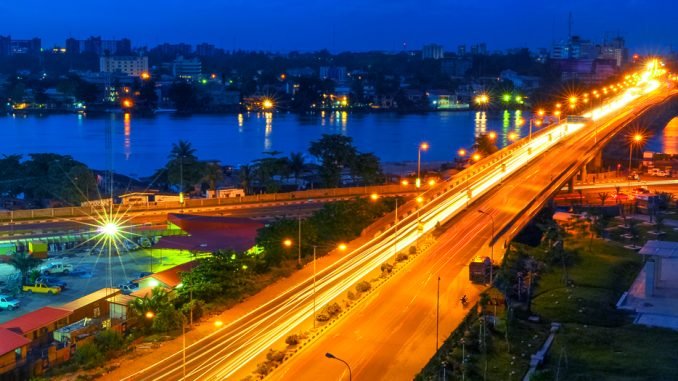
Lagos State, located in the southwestern part of Nigeria, is a place of incredible geographical diversity and significance. In this article, we will go into the intricate details of the geography of Lagos State, showing its landscapes, climate, natural resources, and more. Join us on this journey as we uncover the geographical marvels of this vibrant Nigerian state.
Location and Borders
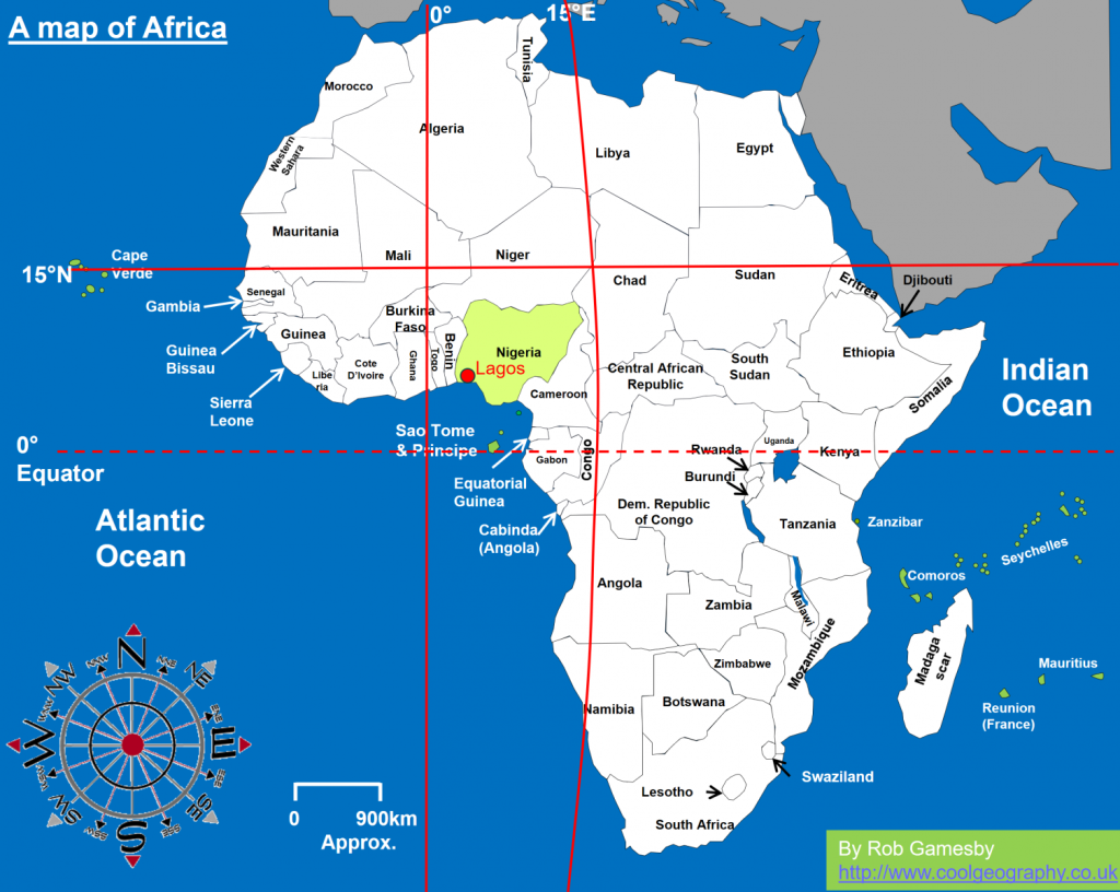
Lagos State is situated along the Gulf of Guinea in the Atlantic Ocean. To the west, it shares borders with the Republic of Benin. To the north and east, it is bordered by Ogun State. The state also has a coastline that stretches for approximately 180 kilometres along the Atlantic Ocean, making it an important hub for maritime activities.
Topography
The topography of Lagos State is characterized by a mix of coastal plains, lagoons, and creeks. The state’s southern region is primarily low-lying and consists of coastal plains that are prone to periodic flooding during the rainy season. As one moves inland, the terrain gradually rises, leading to the northern part of the state, which is marked by undulating hills and plateaus.
Climate
Lagos State experiences a tropical savannah climate with distinct wet and dry seasons. The wet season typically lasts from April to October, with heavy rainfall and high humidity. During this period, Lagos State’s numerous lagoons and creeks fill with water, providing a striking contrast to the dry season. From November to March, the dry Harmattan winds blow in from the Sahara Desert, bringing cooler and drier conditions.
Vegetation
The state’s vegetation varies depending on the region. The coastal areas are characterized by mangrove swamps, which are home to a rich diversity of aquatic life. Inland areas boast lush tropical rainforests, while the northern uplands feature savannah vegetation with scattered trees.
Natural Resources
Lagos State is blessed with an abundance of natural resources. Its coastal location makes it a vital centre for fishing, and the state’s waters are teeming with various species of fish, including tilapia and catfish. Additionally, Lagos State has substantial deposits of granite, limestone, and clay, which are essential for construction and manufacturing industries.
Population and Urbanization
As one of Nigeria’s most populous states, Lagos has witnessed significant urbanization over the years. The city of Lagos, the state’s capital, is not only the largest city in Nigeria but also one of the fastest-growing cities in Africa. Its population has grown exponentially due to rural-to-urban migration, making it a bustling metropolis with a diverse and cosmopolitan population.
Transportation
Lagos State is known for its extensive transportation network. It is home to Nigeria’s busiest ports, including the Apapa and Tin Can Island Ports, which handle a significant portion of the country’s imports and exports. Additionally, the state has a well-developed road network, with an increasing focus on expanding the Lagos light rail system to alleviate traffic congestion.
Cultural Significance
The geography of Lagos State has played a pivotal role in shaping its culture. The coastal communities have a rich maritime heritage, with fishing and boat building being integral to their way of life. Moreover, the diverse landscapes have given rise to various cultural festivals and traditions, making Lagos a melting pot of cultures.
Conclusion
In conclusion, the geography of Lagos State is a captivating blend of coastal beauty, diverse landscapes, and rich natural resources. From its vibrant capital city to its serene coastal areas, Lagos State offers a unique and dynamic experience. As the state continues to evolve, its geography remains a key factor in its growth and prosperity.

Leave a Reply